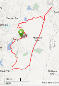
Went for another bike ride on Saturday. I did the exact same loop as last weekend except that at the north end of the back straightaway I extended out to the north to see what was there and then stopped at a different convenience store at the turnaround.
Unfortunately what I found was that my quiet, rolling rural highway turns into a major commercial and industrial artery about a mile above my programmed left turn. I’ll have to do some more map and car recons to find a nicer extension to this route or possibly a new, longer loop course.
This time I did remember to charge and bring my camera. The photos don’t do justice to the scenery but I’ll include them at the end to give a feeling for the route.
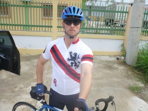
Self portrait (also known as the “last known photo” in extreme cases . . .). The jersey was a birthday present from Twin Six. It’s called The Brew Pub. The back has a really cool chain ring insignia on it.
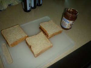
Nutrition. I ran out of peanut butter so I was using a weired PB-combined-with-chocolate-spread-thing. It was . . . okay. Not as good as PB & Nutella.
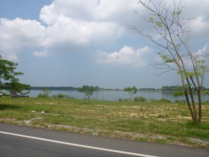
Route starts out following the shore of Mabprachan Reservoir. . .
More after the jump . . .
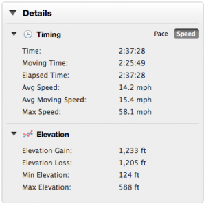
Good miles! Your max is impressive even in a downhill aero position. I have about 1,150 miles for the year, need to up my running. Keep it up!
Yeah, I’m not 100% sure about that max. On the graph in Garmin Connect the two max speed peeks are both in the mid-to-high 30’s. And 48 would be around the fastest I’ve ever gone on my bike and there’s nowhere on this route or ride that I remember moving THAT fast.